Want to bypass Covid containment zones? Try this technology-backed solution
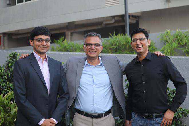
 (L-R) Transerve Technologies co-founder Amarsh Chaturvedi, COO Ashish Raj and co-founder Ashwani Rawat
The spread of Covid-19 and the consequent lockdown has impacted small and medium businesses and large corporations alike. With the easing of lockdown, businesses are trying to get their operations back on track; here technology-backed solutions can be of great help. Transerve Technologies, through its offering ‘Transerve Online Stack’ (TOS), has come up with a solution to map Covid-19 density zones using geospatial technology. This advanced solution works on predictive analysis and uses layers of geospatial data to track, monitor, analyse, and visually represent them into data stacks. These data stacks will help in route optimisation in Covid positive zones that can further assist businesses in making statistically-driven decisions.
Transerve Technologies was founded in Goa by two IIT-Kanpur graduates—Amarsh Chaturvedi and Ashwani Rawat—as a civic-tech firm specialising in geospatial technology, smart city solutions and advanced data collection technology. It was seed-funded by CIIE-IIM Ahmedabad in its nascent stage; currently, it has Omidyar Network and Tara India Fund as its marquee social impact early-stage investors.
Explaining how the platform works, Amarsh Chaturvedi, co-founder, Transerve, said, “Keeping a tab on Covid-19 contaminated zone is the need of the hour. While the government is playing its part to keep the citizens safe from infection, it is very important for new-age entities like ours to support the agencies by making optimum use of our technology in order to deal with this global crisis. Our technologically advanced API-based spatial platform serves as a single point database to access all the information related to Covid-19 contaminated zones.”
Large and medium-sized retailers who are now eagerly waiting to re-open their stores are heavily dependent on geo-spatial datasets on deciding which outlets to open and which ones to keep closed. Similarly, large manufacturing companies are using geospatial data to analyse their suppliers’ catchment areas and effectively plan their sourcing strategies. Supply chain professionals across organisations and logistics companies are planning to extensively use geospatial data for route optimisation of their vehicles by avoiding the red zones.
Moreover, analysing data of existing health infrastructure and census data sets and mapping it to those infected can help policymakers and concerned authorities in identifying Covid-19 containment zones. With so many practical applications, TOS is emerging to be a very effective tool for governments and corporates. TOS has been maintaining a Corona timeline and created interactive digital maps of all the districts in India, and colour-coded them to map all the Covid-19 related information.
“With our platform, we aim at providing a helping hand to government authorities and corporates, so that the society can reap benefits on a larger scale,” says co-founder Ashwani Rawat. “We are also publishing map visualisations on Covid-19 related data released by government sources from time-to-time in order to help the public in understanding the infection and its containment.”
Get live Stock Prices from BSE and NSE and latest NAV, portfolio of Mutual Funds, calculate your tax by Income Tax Calculator, know market’s Top Gainers, Top Losers & Best Equity Funds. Like us on Facebook and follow us on Twitter.
 Financial Express is now on Telegram. Click here to join our channel and stay updated with the latest Biz news and updates.


Gloss