Producers using technology to manage crops, preserve water resources
Producers in the plains, a region known for its scant rainfall, are relying more and more on technology to help them use water resources more effiiciently with the aid of Flux Towers that provide advanced weather data. The information the Flux Towers collect enable producers to better decide when to irrigate, and in turn, preserve underground water supplies.
Nine weather stations that record temperature, humidity, evapotranspiration (ET), solar energy and wind speed and direction have populated various sites in Perkins County since the Nebraska Legislature passed a bill in 2015 to encourage Republican River stakeholders to improve water management practices and preserve resources.
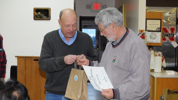
On Thursday, Feb. 24 at the Perkins County Senior Center, representatives from the Upper Republican Natural Resources District, the University of Nebraska and the Department of Natural Resources presented details of the recent addition of two Flux towers in the area.
Speakers from the three entities described the installation of two Flux weather stations (advanced weather stations) in Perkins County, which fall along Parallel 41, a circle of latitude that includes the mid-secton of the United States. Installation and maintenance of the towers is provided by university personnel. The towers are located southeast of Grant on Kroeker and Frerichs properties.
In addition to the data the original towers supply, the updated weather towers are also able to record CO2 movement, both laterally and vertically, as well as other data useful to determining crop management, and delivers the information ten times faster. Reports can be given as frequently as every 15 minutes.
The towers are part of a project initiated by Ted Tietjen of Grant, who proposed the HUC-12 (Hydrologic Unit Code 12) Project which concentrates on a portion of the Republican River basin located in Perkins County.
The objective, said Tietjen, member of the project, is to know how much water a crop is using, to better manage water use and reduce underground water withdrawal.
The data collected by the towers is available on the URNRD website, and can be accessed and monitored by computer.
volunteers sought
In a project initiated by the Department of Natural Resources, area rainfall is monitored by volunteers who check rain gauges on their properties followiing a precipitation event. Rainfall totals are entered on the NeRain website, which shows a map and location of each gauge. A click on a dot representing a gauge will indicate the day’s rainfall.
The DNR encourages interested residents to participate in the program by applying on their website—NeRain, and going to the “information and help” page.


Gloss